Pania Reef and seafloor ecology
We already had a lot of information about the local seabed and its ecology, but this project has seen much more information collected.
Cawthorn Institute prepared a report on the potential ecological effects of the development before we applied for resource consents. This work included:
- Additional benthic* (near and just below seabed) surveys in the proposed dredge zone, supplementing existing data
- Additional sediment chemistry analysis
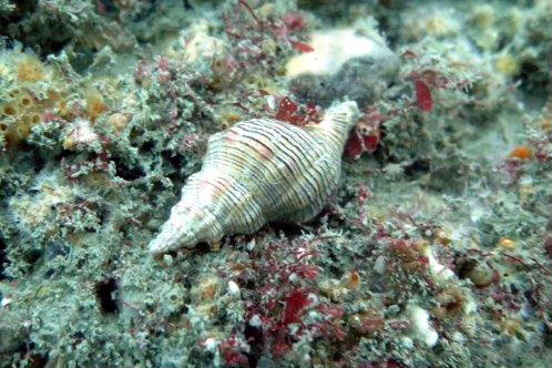
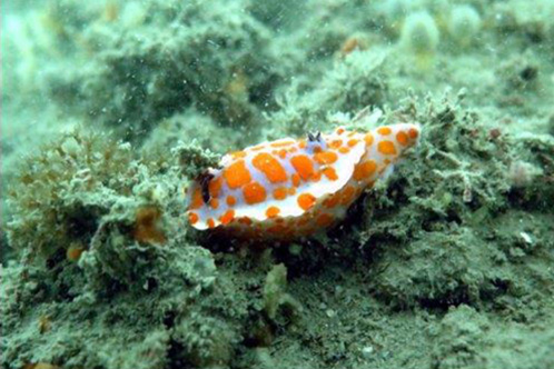
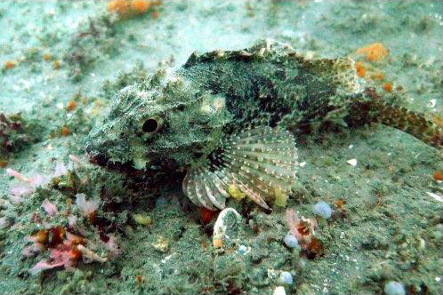
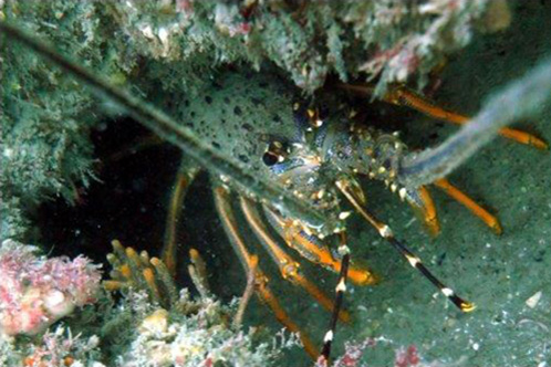
- Dive surveys at Pania Reef
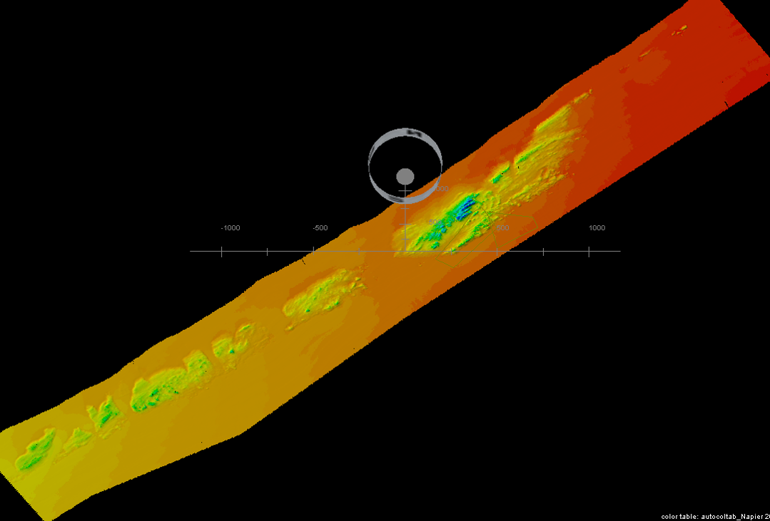
- Multi-beam survey of Pania Reef (as pictured above)
- Benthic sediment sampling
- Fisheries and marine mammals’ assessment.
Cawthorn worked closely with Napier Port and Worley Parsons (Advisian) to understand the impact of dredging on the ecology and how it can be effectively managed.
We’re partnering with mana whenua through a Marine Cultural Health Programme to ensure we protect Pania and the mauri of the area throughout construction and dredging and are monitoring the water quality at Pania Reef through our environmental dashboard that provides live information every 15 minutes. Visit dashboard here.
Investigations show that Pania Reef experiences a certain level of natural turbidity (cloudiness from suspended sediments in the water) through large seas and from sediment from the local rivers. The marine life currently copes with natural spikes in turbidity. The work Napier Port has done (and continues to do) will ensure that any turbidity created by dredging will not threaten the existing ecology of the reef.
*Benthic: noun: The flora and fauna found on the bottom, or in the bottom sediments, of a sea or lake (Oxford Dictionary).
